Stronger winter storm expected to follow through midweek, with snow, ice, winds, tornadoes, and flooding
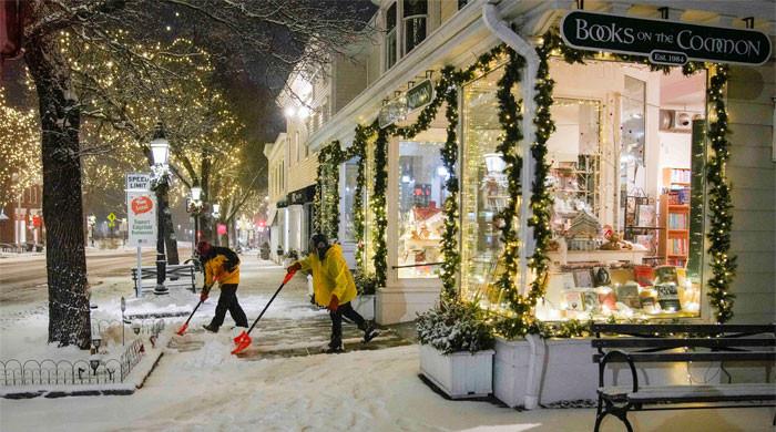
A winter storm ploughed through the mid-Atlantic and Northeast on Saturday, with a stronger one expected on Sunday, which may cause up to a foot of snow and potential travel disruptions for millions under winter storm alerts, CNN reported.
Freezing rain and heavy snow fell in the interior mid-Atlantic, including Virginia and North Carolina, making driving dangerous, while heavy snow reached the Northeast late Saturday morning.
Central Pennsylvania experienced a couple of inches of snow which later deteriorated road conditions, with Pennsylvania Department of Transportation (DOT) maps showing widespread slowdowns on roads.
Pennsylvania transportation crews started prepping roads for these conditions on Friday to “keep roads passable, not completely free of ice and snow,” a Pennsylvania DOT statement said.
Meanwhile, a stronger storm is expected to follow the first storm through midweek, with snow, ice, strong winds, tornadoes, and flooding.
It will strengthen rapidly on Monday as it moves through the Central US towards the Great Lakes.
The storm’s track remains uncertain, but heavy snowfall is most likely in parts of the Plains, Great Lakes, Midwest, and interior Northeast, with changes in snowfall probabilities.
Additionally, Chicago and Milwaukee may experience snow due to a storm tapping into warmer, moist air from the Gulf of Mexico.
It increases the risk of severe storms, damaging winds, and flooding near the Gulf Coast, particularly in the southern Southeast, including Florida, on Monday and Tuesday.
As the storm moves northeast, it will bring rain and strong wind gusts of 40 mph or greater across the eastern half of the US, posing serious flood and power outage concerns.
The Weather Prediction Center has placed an area between Philadelphia and New York City, including Trenton, New Jersey, under a Level 3 of 4 risk for flooding, indicating rare confidence in a high-impact flood event.

